SION LES MINES
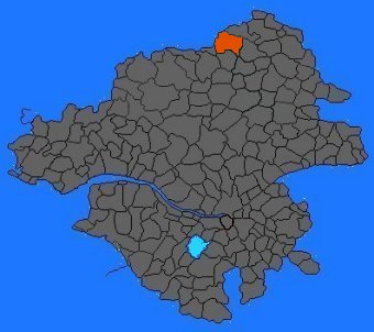
SITUATION GÉOGRAPHIQUE DE LA COMMUNE

SION LES MINES |
SITUATION GÉOGRAPHIQUE DE LA COMMUNE
|
|
|
|
| ORIGINE DU NOM
: de "sium",
plante courante le long de la Chère.
|
|
| CODE POSTAL : 44590 | |
| ALTITUDE : 67 m | |
| CANTON DE : Derval | |
| ARRONDISSEMENT : Châteaubriand | |
| SUPERFICIE : 5 471 ha | |
| POPULATION 1999 : 1 365 hab. | |
| HABITANTS : les Sionnais | |
| COURS D'EAU : la Chère | |
| NOM BRETON : HEZIN AR MENGLEUZIOÙ |
BLASON |
|
| - blason de Geoffroy de Syon - les molettes d'éperons et le croissant évoqueraient les croisades. |
RETOUR |